No higher resolution available.
Utmzonenugitterp.png (475 × 530 pixels, file size: 48 KB, MIME type: image/png)
Summary
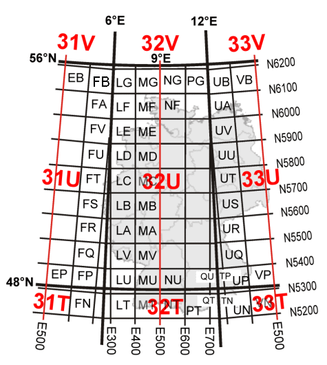
UTMREF (name of 100kmx100km fields in Universal Transverse Mercator projection).
Artist: Anton (rp) 2005
 | Permission is granted to copy, distribute and/or modify this document under the terms of the GNU Free Documentation License, Version 1.2 or any later version published by the Free Software Foundation; with no Invariant Sections, no Front-Cover Texts, and no Back-Cover Texts. |
Template:License migration complete
Licensing
| Permission is granted to copy, distribute and/or modify this document under the terms of the GNU Free Documentation License, Version 1.2 or any later version published by the Free Software Foundation; with no Invariant Sections, no Front-Cover Texts, and no Back-Cover Texts. |
| If this file is eligible for relicensing, it may also be used under the Creative Commons Attribution-ShareAlike 3.0 license. The relicensing status of this image has not yet been reviewed. You can help. |  |
File history
Click on a date/time to view the file as it appeared at that time.
| Date/Time | Thumbnail | Dimensions | User | Comment | |
|---|---|---|---|---|---|
| current | 13:45, 22 January 2024 | | 475 × 530 (48 KB) | Isidore (talk | contribs) | UTMREF (name of 100kmx100km fields in Universal Transverse Mercator projection).<br/> Artist: Anton (rp) 2005<br/>{{GFDL|migration=relicense}}<br/> Category:Universal Transverse Mercator coordinate system Category:Maps of the Bundeswehr Category:Media missing infobox template |
You cannot overwrite this file.
File usage
The following page uses this file: