No higher resolution available.
Usa_edcp_relief_location_map.png (800 × 495 pixels, file size: 708 KB, MIME type: image/png)
Summary
Summary
| Description |
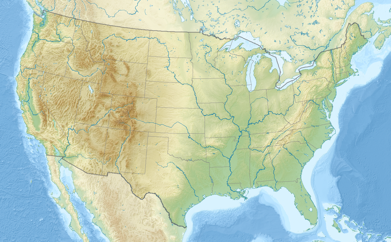
English: Relief location map of the USA (without Hawaii and Alaska). EquiDistantConicProjection : Central parallel : * N: 37.0° N Central meridian : * E: 96.0° W Standard parallels: * 1: 32.0° N * 2: 42.0° N Made with Natural Earth. Free vector and raster map data @ naturalearthdata.com. Formulas for x and y: x = 50.0 + 124.03149777329222 * ((1.9694462586094064-({{{2}}}* pi / 180))
* sin(0.6010514667026994 * ({{{3}}} + 96) * pi / 180))
y = 50.0 + 1.6155950752393982 * 124.03149777329222 * 0.02613325650382181
- 1.6155950752393982 * 124.03149777329222 *
(1.3236744353715044 - (1.9694462586094064-({{{2}}}* pi / 180))
* cos(0.6010514667026994 * ({{{3}}} + 96) * pi / 180))
|
|---|---|
| Source |
Own work |
| Date |
2010-08-24 |
| Author | |
| Permission (Reusing this file) |
See below. |
| Other versions |
|
Licensing
I, the copyright holder of this work, hereby publish it under the following licenses:
You may select the license of your choice.
|


File history
Click on a date/time to view the file as it appeared at that time.
| Date/Time | Thumbnail | Dimensions | User | Comment | |
|---|---|---|---|---|---|
| current | 21:22, 23 November 2023 | | 800 × 495 (708 KB) | Isidore (talk | contribs) | == {{int:filedesc}} == {{Information |Description={{en|1=Relief location map of the USA (without Hawaii and Alaska). EquiDistantConicProjection : Central parallel : * N: 37.0° N Central meridian : * E: 96.0° W Standard parallels: * 1: 32.0° N * 2: 42.0° N Made with Natural Earth. Free vector and raster map data @ naturalearthdata.com. Formulas for x and y: <pre> x = 50.0 + 124.03149777329222 * ((1.9694462586094064-({{{2}}}* pi / 180)) * sin(0.601051... |
You cannot overwrite this file.
File usage
The following 10 pages use this file: