
Size of this PNG preview of this SVG file: 487 × 599 pixels. Other resolution: 1,664 × 2,048 pixels.
Original file (SVG file, nominally 832 × 1,024 pixels, file size: 652 KB)
Summary
Summary
| Description | English: |
|---|---|
| Source |
Own work
|
| Date |
2021-01-29 |
| Author | |
| Permission (Reusing this file) |
See below. |
| Other versions | 
|
Licensing
I, the copyright holder of this work, hereby publish it under the following license:
|
File history
Click on a date/time to view the file as it appeared at that time.
| Date/Time | Thumbnail | Dimensions | User | Comment | |
|---|---|---|---|---|---|
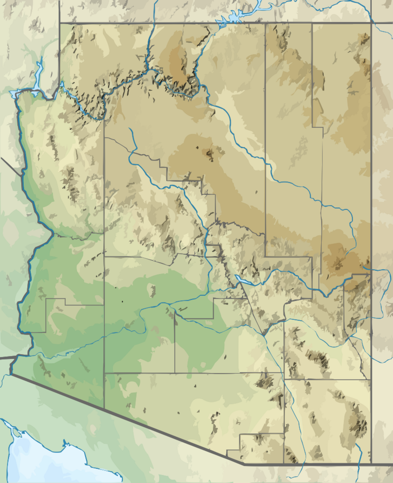
| current | 18:44, 9 February 2024 | | 832 × 1,024 (652 KB) | Isidore (talk | contribs) | =={{int:filedesc}}== {{Information |description={{en|1=Relief location map of Arizona, USA Geographic limits of the map: * N: 37.3° N * S: 31.1° N * W: 115.0° W * E: 108.7° W}} |date=2021-01-29 |source={{own}} *Based on File:USA Arizona location map.svg *Public domain data provided by the National Atlas of the United States of America |author=SANtosito |permission= |other versions= 100px }} =={{int:lice... |
You cannot overwrite this file.
File usage
The following 3 pages use this file: