Size of this preview: 600 × 600 pixels. Other resolution: 768 × 768 pixels.
Original file (768 × 768 pixels, file size: 805 KB, MIME type: image/png)
Summary
Summary
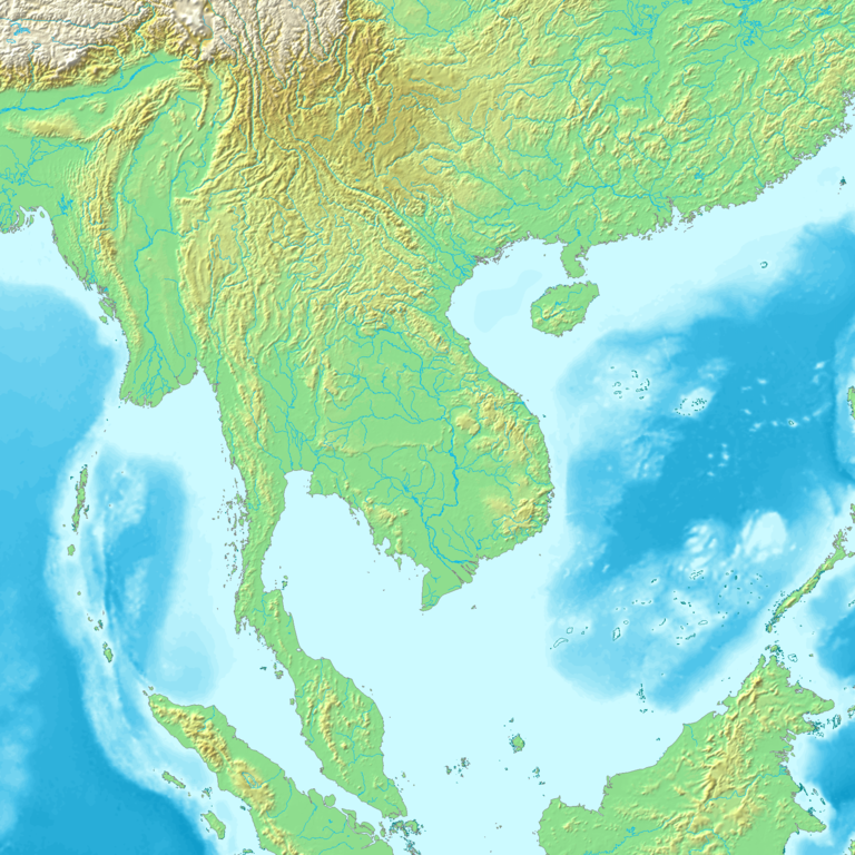
Topographic map 90deg, North latitude: 60 - South latitude: 30, East longitude: 60 - 150
Topographic map 90deg, North latitude: 60 - South latitude: 30, East longitude: 60 - 150
|
| ||||||||||||||||||||||||

Map created from DEMIS Mapserver[permanent dead link], which are public domain. Koba-chan
 | Permission is granted to copy, distribute and/or modify this document under the terms of the GNU Free Documentation License, Version 1.2 or any later version published by the Free Software Foundation; with no Invariant Sections, no Front-Cover Texts, and no Back-Cover Texts. |
File history
Click on a date/time to view the file as it appeared at that time.
| Date/Time | Thumbnail | Dimensions | User | Comment | |
|---|---|---|---|---|---|
| current | 15:40, 7 February 2024 | | 768 × 768 (805 KB) | Isidore (talk | contribs) | == {{int:filedesc}} == {{es|N0-60, E90-120}} === Topographic map 90deg, North latitude: 60 - South latitude: 30, East longitude: 60 - 150 === Topographic map 90deg, North latitude: 60 - South latitude: 30, East longitude: 60 - 150 {| cellpadding=0 |- | valign=top| {| width=152 cellpadding=0 cellspacing=1 |- | 50px|N30-60, E60-90 | 50px|N30-60, E90-120 | 50px|N30-60, E120-150 |-... |
You cannot overwrite this file.
File usage
The following 2 pages use this file: