Original file (835 × 1,080 pixels, file size: 113 KB, MIME type: image/jpeg)
Summary
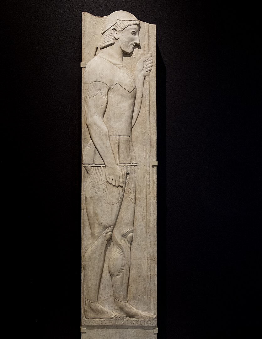
English: Stele of Aristion Date 21 November 2017, 17:10:30 Source Flickr Author Sharon Mollerus Camera location 37° 47′ 04.04″ N, 122° 30′ 03.02″ W Kartographer map based on OpenStreetMap. View this and other nearby images on: OpenStreetMap info Licensing w:en:Creative Commons attribution This file is licensed under the Creative Commons Attribution 2.0 Generic license. You are free: to share – to copy, distribute and transmit the work to remix – to adapt the work Under the following conditions: attribution – You must give appropriate credit, provide a link to the license, and indicate if changes were made. You may do so in any reasonable manner, but not in any way that sug
File history
Click on a date/time to view the file as it appeared at that time.
| Date/Time | Thumbnail | Dimensions | User | Comment | |
|---|---|---|---|---|---|
| current | 15:56, 8 November 2023 | | 835 × 1,080 (113 KB) | Isidore (talk | contribs) | English: Stele of Aristion Date 21 November 2017, 17:10:30 Source Flickr Author Sharon Mollerus Camera location 37° 47′ 04.04″ N, 122° 30′ 03.02″ W Kartographer map based on OpenStreetMap. View this and other nearby images on: OpenStreetMap info Licensing w:en:Creative Commons attribution This file is licensed under the Creative Commons Attribution 2.0 Generic license. You are free: to share – to copy, distribute and transmit the work to remix – to adapt the work Under the following condition... |
You cannot overwrite this file.
File usage
The following page uses this file: