No higher resolution available.
OTH-B_coverage.gif (666 × 542 pixels, file size: 12 KB, MIME type: image/gif)
Summary
Summary
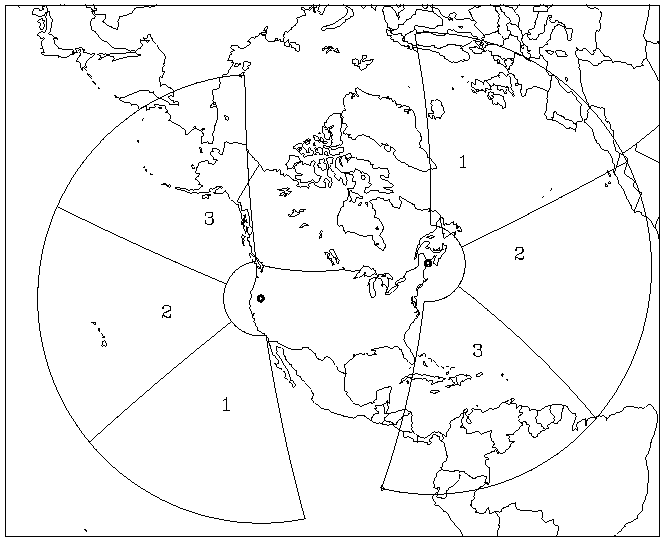
Coverage of the U.S. Over-the-Horizon Backscatter (OTH-B) radars stationed in Maine and Oregon.
Licensing
| This file is in the public domain, because (no reason given!)
Please verify that the reason given above is valid! Note: if there is a specific licence tag for the reason supplied here, please use it. |
File history
Click on a date/time to view the file as it appeared at that time.
| Date/Time | Thumbnail | Dimensions | User | Comment | |
|---|---|---|---|---|---|
| current | 18:14, 7 December 2023 | | 666 × 542 (12 KB) | Isidore (talk | contribs) | == {{int:filedesc}} == Coverage of the U.S. Over-the-Horizon Backscatter (OTH-B) radars stationed in Maine and Oregon. |
You cannot overwrite this file.
File usage
The following page uses this file: