No higher resolution available.
Navigation_system_on_a_merchant_ship.jpg (800 × 600 pixels, file size: 106 KB, MIME type: image/jpeg)
Summary
| Description |
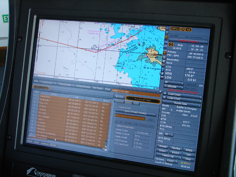
English: Navigation system used on an oil tanker : electronic chart. Template:Fr Template:Es |
|---|---|
| Source | |
| Date | |
| Author |
Hervé Cozanet |
| Permission (Reusing this file) |
See below for the detail of the autorisation
|
File history
Click on a date/time to view the file as it appeared at that time.
| Date/Time | Thumbnail | Dimensions | User | Comment | |
|---|---|---|---|---|---|
| current | 15:24, 29 January 2024 | | 800 × 600 (106 KB) | Isidore (talk | contribs) | {{Information |Description={{en|Navigation system used on an oil tanker : electronic chart.}} {{fr|Système de navigation utilisé sur un pétrolier : carte électronique}} {{es|Sistema de navegación por satélite utilizado en un petrolero: carta naútica electrónicas}} |Source=http://www.marine-marchande.net/ |Date= |Author=Hervé Cozanet |Permission=See below for the detail of the autorisation |other_versions= }} {{marine-marchande.net|migration=relicense}} Category:Algarve (ship, 1999) [[C... |
You cannot overwrite this file.
File usage
The following 2 pages use this file: