Size of this preview: 800 × 400 pixels. Other resolution: 1,280 × 640 pixels.
Original file (1,280 × 640 pixels, file size: 337 KB, MIME type: image/jpeg)
Summary
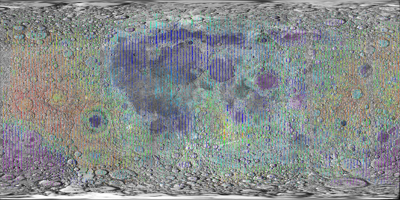
Lidar measurements of lunar topography made by Clementine mission Date 23 October 2006 Source plotted using GMT and gltm2bpr.tab from PDS superimposed on map from http://solarviews.com/cap/moon/moonmap.htm Author Martin Pauer (Power) Permission (Reusing this file) PD
Licensing
| This file is in the public domain, because (no reason given!)
Please verify that the reason given above is valid! Note: if there is a specific licence tag for the reason supplied here, please use it. |
File history
Click on a date/time to view the file as it appeared at that time.
| Date/Time | Thumbnail | Dimensions | User | Comment | |
|---|---|---|---|---|---|
| current | 14:33, 13 November 2023 | | 1,280 × 640 (337 KB) | Isidore (talk | contribs) | Lidar measurements of lunar topography made by Clementine mission Date 23 October 2006 Source plotted using GMT and gltm2bpr.tab from PDS superimposed on map from http://solarviews.com/cap/moon/moonmap.htm Author Martin Pauer (Power) Permission (Reusing this file) PD |
You cannot overwrite this file.
File usage
The following page uses this file: