No higher resolution available.
Map_of_California_NA.png (622 × 480 pixels, file size: 241 KB, MIME type: image/png)
Summary
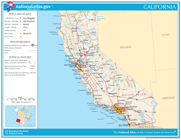
English: Reference Map for the U.S. state of California. Date 2004 Source National Atlas of the United States
Website: http://www.nationalatlas.gov/printable/reference.html#California Map: http://www.nationalatlas.gov/printable/images/pdf/reference/pagegen_ca.pdf Author National Atlas of the United States Permission (Reusing this file) Public domain
Licensing
| This file is in the public domain, because (no reason given!)
Please verify that the reason given above is valid! Note: if there is a specific licence tag for the reason supplied here, please use it. |
File history
Click on a date/time to view the file as it appeared at that time.
| Date/Time | Thumbnail | Dimensions | User | Comment | |
|---|---|---|---|---|---|
| current | 15:00, 10 November 2023 | | 622 × 480 (241 KB) | Isidore (talk | contribs) | English: Reference Map for the U.S. state of California. Date 2004 Source National Atlas of the United States Website: http://www.nationalatlas.gov/printable/reference.html#California Map: http://www.nationalatlas.gov/printable/images/pdf/reference/pagegen_ca.pdf Author National Atlas of the United States Permission (Reusing this file) Public domain |
You cannot overwrite this file.
File usage
The following 4 pages use this file: