
Size of this PNG preview of this SVG file: 681 × 600 pixels. Other resolution: 2,325 × 2,048 pixels.
Original file (SVG file, nominally 1,425 × 1,255 pixels, file size: 633 KB)
Summary
| Description |
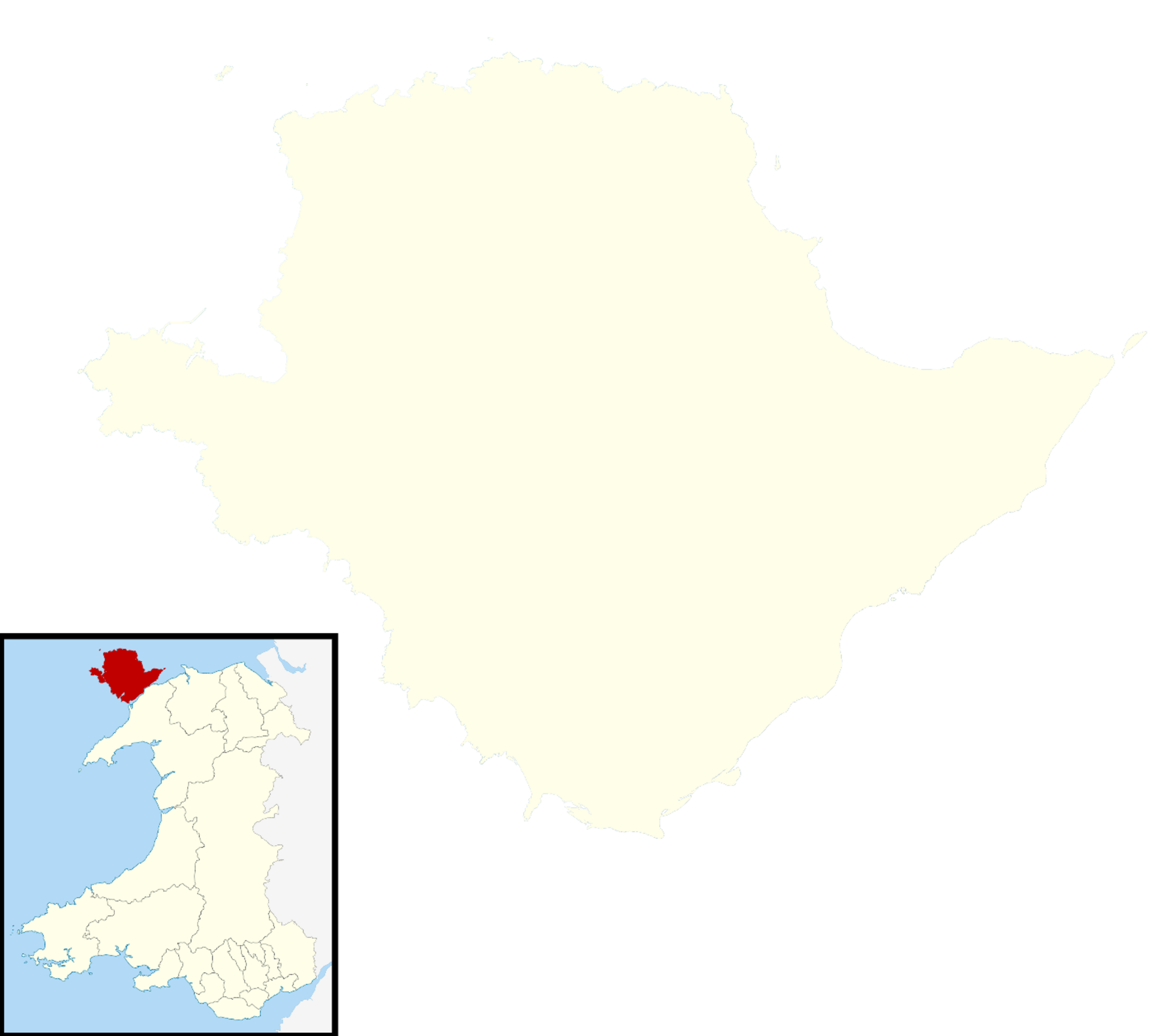
Blank map of the Anglesey, UK with districts shown. Equirectangular map projection on WGS 84 datum, with N/S stretched 165% Geographic limits:
| ||
|---|---|---|---|
| Source |
Ordnance Survey OpenData. Most data from Boundary-Line product. Lake data from Meridian 2 product. Inset derived from File: United Kingdom location map.svg by NordNordWest. | ||
| Date |
2010-07-17 | ||
| Author |
Nilfanion, created using Ordnance Survey data | ||
| Permission (Reusing this file) |
|
File history
Click on a date/time to view the file as it appeared at that time.
| Date/Time | Thumbnail | Dimensions | User | Comment | |
|---|---|---|---|---|---|
| current | 17:42, 10 January 2024 | | 1,425 × 1,255 (633 KB) | Isidore (talk | contribs) | {{Information |Description=Blank map of the Anglesey, UK with districts shown. Equirectangular map projection on WGS 84 datum, with N/S stretched 165% Geographic limits: *West: 4.75W *East: 4.00W *North: 53.45N *South: 53.05N |Source=Ordnance Survey [https://www.ordnancesurvey.co.uk/opendatadownload/products.html OpenData]. Most data from Boundary-Line product. Lake data from Meridian 2 product. Inset derived from [[:File: United Kingdom location... |
You cannot overwrite this file.
File usage
The following page uses this file: