
Size of this PNG preview of this SVG file: 800 × 494 pixels. Other resolution: 2,560 × 1,582 pixels.
Original file (SVG file, nominally 1,280 × 791 pixels, file size: 329 KB)
Summary
| File:Ambox current red Americas.svg | This file needs to be updated. Please help update this file to reflect recent events or newly available information. |
Summary
| Description |
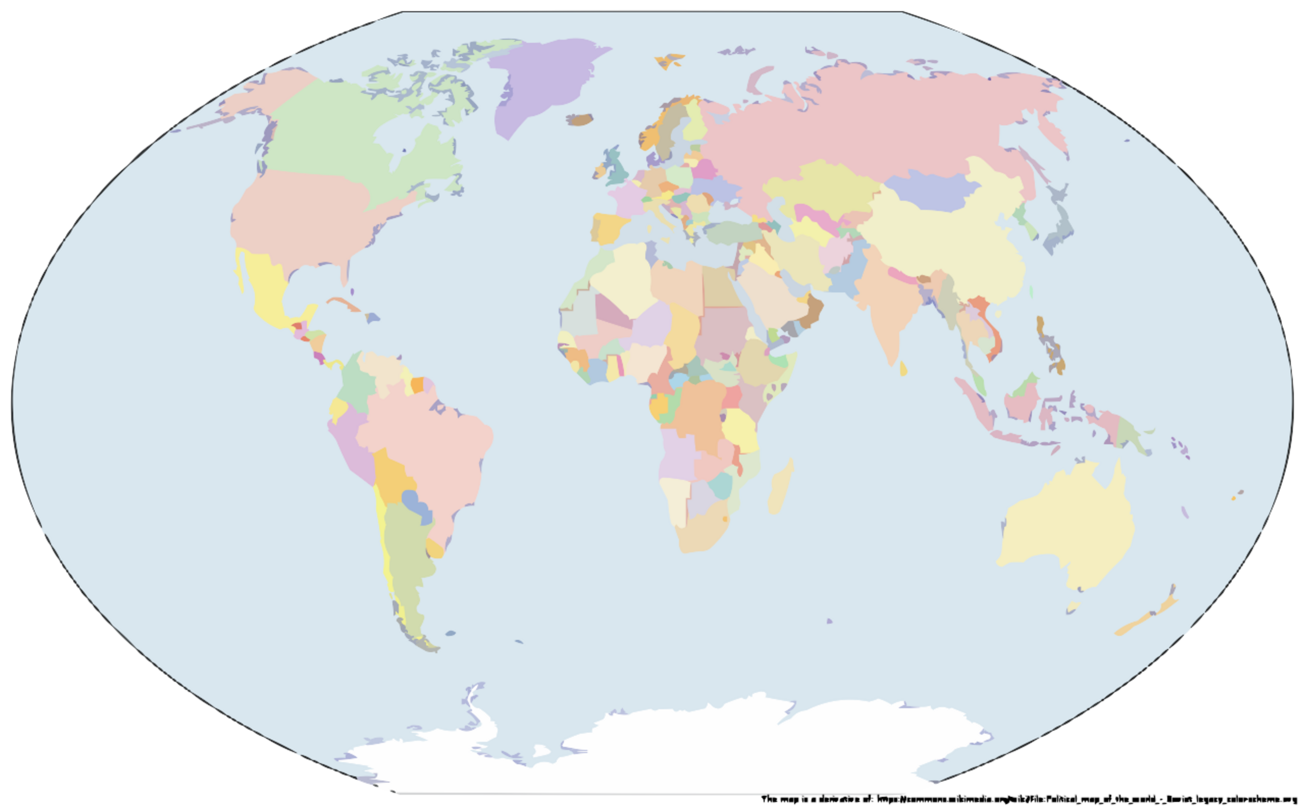
English: Base map: File:Political_map_of_the_world_-_Soviet_legacy_color-scheme.svg, various maps of territorial control from Wikipedia and different sources from the Internet. |
|---|---|
| Source |
Own work |
| Date |
2019-05-14 |
| Author | |
| Permission (Reusing this file) |
See below.
|
Licensing
I, the copyright holder of this work, hereby publish it under the following license:
|
File history
Click on a date/time to view the file as it appeared at that time.
| Date/Time | Thumbnail | Dimensions | User | Comment | |
|---|---|---|---|---|---|
| current | 12:05, 7 February 2024 | | 1,280 × 791 (329 KB) | Isidore (talk | contribs) | {{update}} == {{int:filedesc}} == {{Information |description={{en|1=Base map: File:Political_map_of_the_world_-_Soviet_legacy_color-scheme.svg, various maps of territorial control from Wikipedia and different sources from the Internet.}} |date=2019-05-14 |source={{own}} |author=GrzegorzusLudi |permission= |other versions= }} == {{int:license-header}} == {{self|cc-by-sa-3.0}} Category:SVG blank maps of the world with national borders [[Category:Maps with Wink... |
You cannot overwrite this file.
File usage
The following page uses this file: